
Storm Surge Depth Calculator Online - Flood Estimate
Use Storm Surge Depth Calculator Online to estimate flood depth from water and ground elevations, review an example, and understand important calculation limits.
Please complete this field to continue.
Please complete this field to continue.
Please complete this field to continue.
Please complete this field to continue.
Results
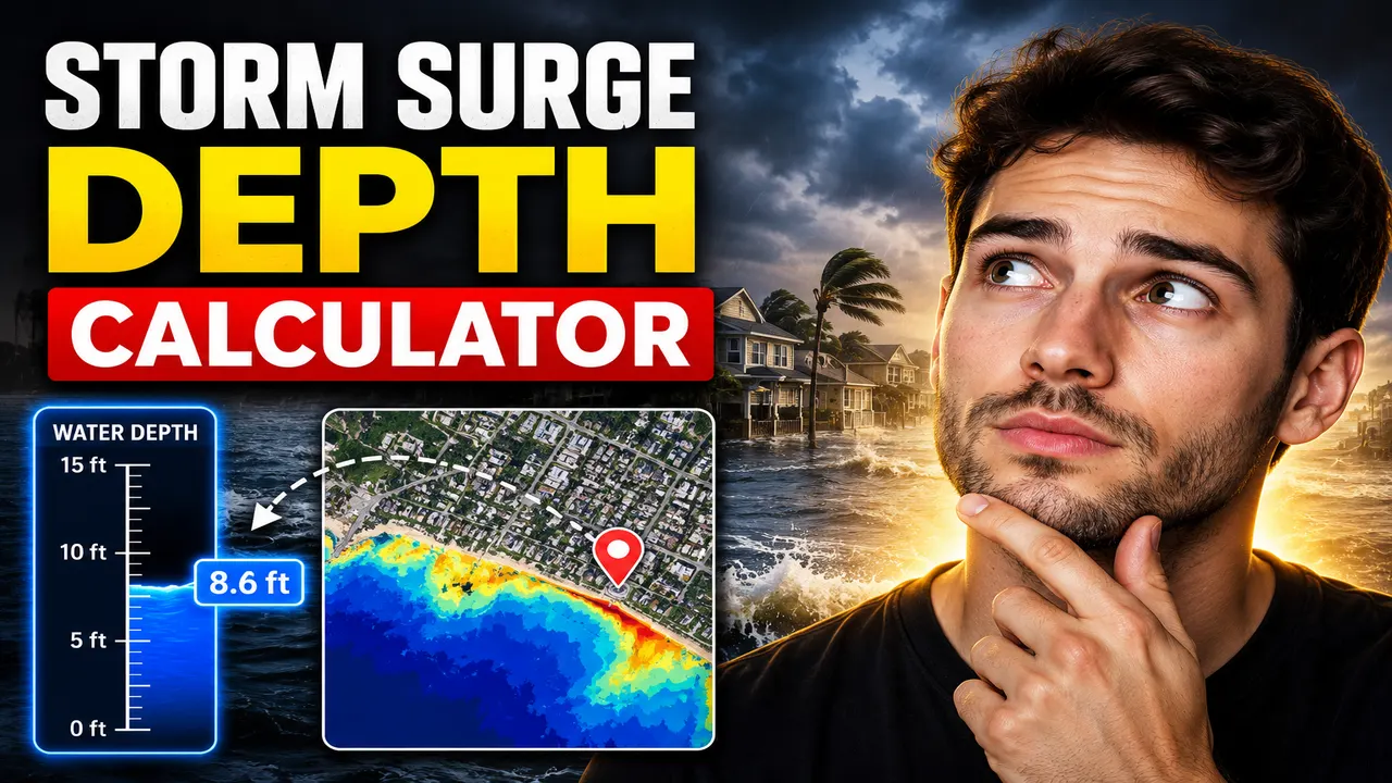
Storm Surge Depth Calculator Online
Quick answer: The Storm Surge Depth Calculator Online is a specialized calculator concept for estimating water depth associated with coastal storm surge. A meaningful estimate depends on the reference elevation, the surge water level, and the units used. The exact inputs, formula, and output supported by the live ToolHox implementation must be confirmed before its calculations can be documented as verified.
Storm surge is the abnormal rise of seawater above the predicted astronomical tide, primarily caused by storm winds pushing water toward the coast and by changes in atmospheric pressure. When surge water reaches coastal land, its depth above the local ground surface depends on both the water-surface elevation and the elevation of that ground.
The Storm Surge Depth Calculator Online is intended for users who need to understand the relationship between storm-surge elevation and potential water depth. Relevant audiences include coastal property owners, students, civil and coastal engineering learners, emergency-planning teams, and people studying flood scenarios.
Important capability note: The supplied information identifies the tool by name and provides its social-sharing image, but does not specify the calculator's actual input fields, computational formula, supported units, validation rules, or processing behavior. The methodology below describes a standard, conditional approach to estimating still-water depth from elevations; it must not be interpreted as confirmation of the live calculator's implementation.
What Is Storm Surge Depth?
Storm surge height and storm-surge flood depth describe different quantities:
- Storm surge height: The rise in coastal water level relative to a specified reference, such as a tidal datum or another water-level baseline.
- Water-surface elevation: The elevation of the water surface relative to a defined vertical datum.
- Flood depth: The vertical distance between the floodwater surface and the local ground surface at a particular location.
A reported surge height cannot automatically be treated as the flood depth at every property. A coastal site with higher ground can experience a smaller water depth than a lower site exposed to the same water-surface elevation. Reliable calculations therefore require compatible elevation references.
How to Use Storm Surge Depth Calculator Online?
The exact interface has not been provided, so the following is a general workflow for an elevation-based storm-surge depth calculation, rather than a verified description of the live interface.
- Identify the water level. Obtain a storm-surge or total coastal water-level estimate and determine the vertical datum and units used by the source.
- Identify ground elevation. Use the ground elevation at the location being assessed, expressed in the same vertical datum and compatible units.
- Calculate the depth. Subtract the local ground elevation from the applicable water-surface elevation.
- Interpret the result. A positive result indicates water above the ground under the simplified elevation comparison. A zero or negative result indicates that the modeled water surface is at or below the ground elevation.
If the live tool uses different inputs, such as surge height, coastal elevation, storm category, or a location-specific parameter, follow its on-screen instructions and verify the formula before relying on its output.
Storm Surge Depth Formula and Methodology
For a simplified still-water elevation comparison, potential flood depth can be calculated using:
Potential flood depth = Water-surface elevation − Ground elevation
To report inundation depth above the ground without negative values, a conditional form is:
Depth above ground = max(0, Water-surface elevation − Ground elevation)
Where:
- Water-surface elevation: The modeled or observed elevation of the water surface, measured against a defined vertical datum.
- Ground elevation: The elevation of the local land surface, measured against that same datum.
- Depth above ground: The calculated vertical water depth at the assessed point, in the selected compatible unit.
The second formula reports zero when the water surface is not above the ground. It does not establish whether the area is hydrologically connected to the sea or whether floodwater can physically reach the location.
Worked Example
Assume a hypothetical coastal location has a modeled water-surface elevation of 3.2 metres and a ground elevation of 1.7 metres, both measured against the same vertical datum.
- Water-surface elevation: 3.2 m
- Ground elevation: 1.7 m
- Difference: 3.2 − 1.7 = 1.5 m
Illustrative result: The calculated still-water depth is 1.5 metres at that point, provided the modeled water surface actually reaches the location. This example demonstrates the elevation-difference method and does not represent an official forecast or a verified output from the ToolHox calculator.
Storm Surge Depth Reference Table
The following table shows how the simplified elevation method behaves for different hypothetical elevation combinations. All values use metres and assume a common vertical datum.
| Water-surface elevation | Ground elevation | Elevation difference | Depth above ground |
|---|---|---|---|
| 3.0 m | 1.0 m | +2.0 m | 2.0 m |
| 2.5 m | 2.0 m | +0.5 m | 0.5 m |
| 1.8 m | 1.8 m | 0.0 m | 0.0 m |
| 1.5 m | 2.0 m | −0.5 m | 0.0 m |
| 4.0 m | 1.2 m | +2.8 m | 2.8 m |
This is a mathematical reference table, not a storm-category lookup chart. Actual surge levels vary by storm, coastal geometry, tide, bathymetry, local topography, and other environmental conditions.
Storm Surge Height vs. Flood Depth
These measurements should not be used interchangeably:
| Measurement | What it describes | Key consideration |
|---|---|---|
| Surge height | Water-level rise relative to a specified baseline | Depends on the reference used to define the rise |
| Total water level | Water-surface elevation under the selected scenario | Must be referenced to a known vertical datum |
| Flood depth | Water above the local ground surface | Requires water-surface and ground elevations |
| Inundation extent | Land area covered by water | Requires spatial terrain and water-connectivity information, not just one depth value |
Edge Cases and Limitations
- Different vertical datums: Subtracting elevations referenced to different datums can produce misleading results. Convert them to a common datum first.
- Mixed units: Convert feet and metres to the same unit before subtraction.
- Water level below ground: A negative elevation difference is not a negative physical water depth; the simplified inundation-depth calculation reports zero.
- Coastal barriers: A positive elevation difference alone does not prove water can reach the point. Dunes, levees, seawalls, and natural terrain can affect connectivity.
- Dynamic flooding: Waves, wave run-up, overtopping, currents, rainfall, drainage, and time-varying water levels may change actual flooding beyond a still-water estimate.
- Uncertain inputs: Errors in ground elevation, forecast water level, or datum conversion carry through to the calculated depth.
- Missing implementation details: The calculator's actual validation, rounding, output units, supported input ranges, and error messages have not been supplied and should not be assumed.
Authoritative Storm Surge Resources
For operational forecasts and hazard interpretation, consult recognized public agencies rather than relying on a standalone arithmetic estimate:
- National Hurricane Center (NHC) — official tropical cyclone forecasts and storm-surge hazard information for applicable regions.
- NOAA Ocean Service: Storm Surge and Storm Tide — background on the difference between storm surge and storm tide.
Technical Disclaimer: This calculator concept and its illustrative formula are suitable for explaining a simplified elevation difference, not for independently determining life-safety decisions, evacuation timing, structural design, or a property's official flood risk. Use authoritative local forecasts, flood maps, consistent elevation data, and qualified professional assessment where appropriate. Follow instructions from local emergency-management authorities during an active coastal hazard.
Author: Daniel Mercer — Coastal Engineering Content Specialist.
Author Description: Daniel Mercer writes technical educational material about coastal water levels, flood-depth estimation, and environmental risk calculations.
Technical Review: The mathematical example and elevation-reference distinctions are presented as general explanatory methodology. The live ToolHox implementation, its calculations, and its validation behavior have not been independently verified.